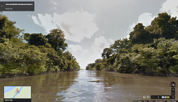
Google is bringing the wonders of the Amazon to a larger audience with a new set of Street View images of the world’s largest tropical rainforest.
With the help of the Amazonas Sustainable Foundation (FAS), the images, available on Google Maps, offer a bird’s eye tour of the great Amazon river, rainforest and its surrounding communities – without the insect repellent.
The breathtaking images were captured under the Google Trekker Loan Program, which lets individuals and organisations use Google’s Street View Trekker equipment to capture images of hard-to-reach places.
To collect the images, FAS workers had to boat down 500 kilometres of rivers, walk 20 kilometres of forest trails and zipline through forest canopies.
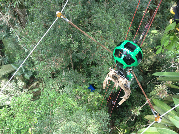
High up in the canopy, you can see thick moss on the trunks, miles of hanging vine, and some of the many plants and insects that call the forest home.
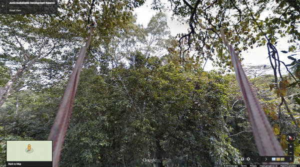
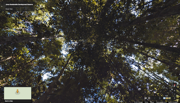
Zipping back down to the forest floor and winding through a maze of towering old-growth trees, one notices the canopies that are so thick the sun barely shines through.
Coming out of the shade, a virtual float down the dreamy waters of the Rio Aripuanã or the Rio Mariepauá will lead to the Rio Madeira, one of the largest tributaries of the Amazon.

Do not forget to stop by one of the 17 communities of local people who live along the river and in the forest. These people protect the Amazon river and forest by living with it, preventing the destruction of trees and the life that depends on them.
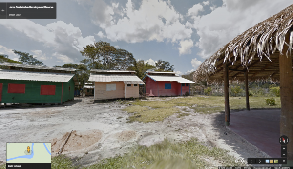
By sharing the beautiful imagery of their local communities, rain forests and rivers with the world, FAS hopes to raise awareness and support for their efforts to conserve these areas.


